Southeast Missouri State University’s geographic information science (GIS) program is shaping the next generation of geospatial professionals through an innovative curriculum that blends hands-on learning, interdisciplinary coursework and advanced GIS applications.
GIS is a vast discipline that studies methods of collecting, analyzing and processing geographic and spatial data. GIS is a rapidly growing field with applications in both the public and private sectors, with a myriad of career options. Graduates from SEMO’s GIS program can pursue careers in cartography, urban and regional planning, risk analysis of natural hazards, site-specific crop management, law enforcement, land surveying and historic preservation. The program also prepares students for graduate studies in geospatial sciences, data analytics, and environmental studies.
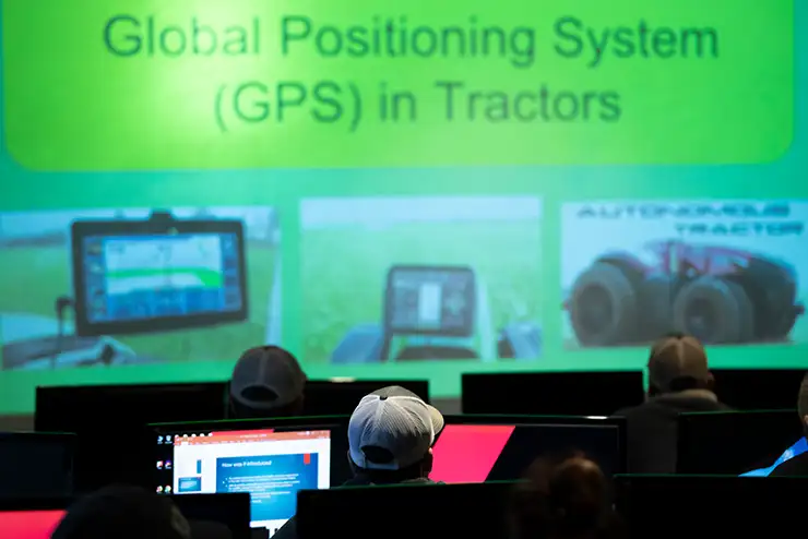
Students graduate already having worked with GIS technology and exploring its applications across sectors such as environmental management, urban planning, business analytics and public health. Additionally, the program offers students the opportunity to strengthen their skills, and resumes, with courses provided by the Unmanned Aircraft Systems (UAS) program, with advanced training in drone operations, aerial mapping and remote sensing applications.
“SEMO’s GIS program has a unique blend of technical training, hands-on learning and practical GIS applications,” said Dr. Nam Hwang, professor of biology at SEMO. “We require internships and provide research opportunities in areas like agriculture, historic preservation and hazard risk analysis, to ensure a solid foundation in all aspects of geospatial technologies, environmental science and data analysis.”
SEMO’s GIS program was established in, its curriculum is designed to produce graduates who are highly prepared for careers that utilize geospatial technologies.
For more information about SEMO’s GIS program, visit semo.edu/gis.